Kingdom of Saudi Arabia
Soudah Urban Code
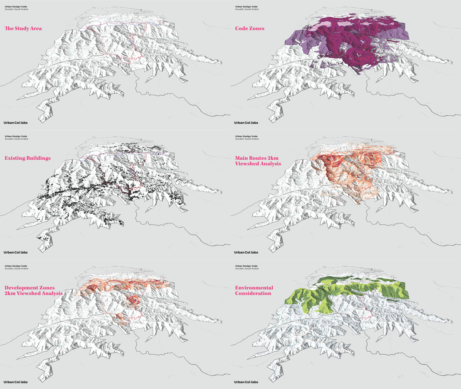
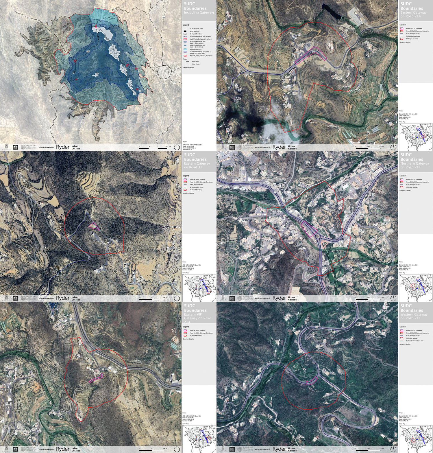
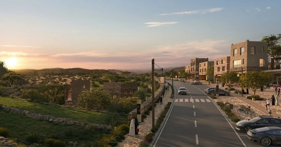
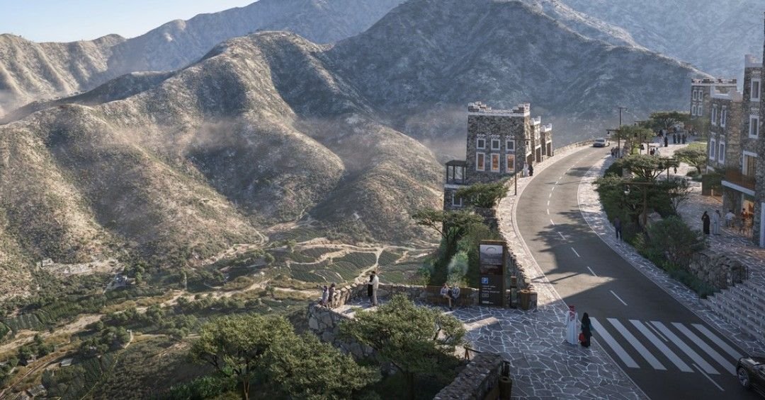
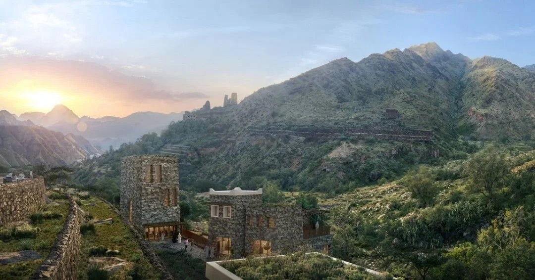
The Soudah Urban Design Code (SUDC), developed by the Soudah Development Company (SD), is a regulatory framework designed to enhance the architectural and visual quality of Soudah Peaks, ensuring all development respects the region’s unique landscape, climate, and cultural heritage. Urban Collabs played a key role in embedding spatial intelligence into this initiative by managing all GIS data and creating a consolidated, long-term geospatial database to support planning, design, and regulatory oversight.
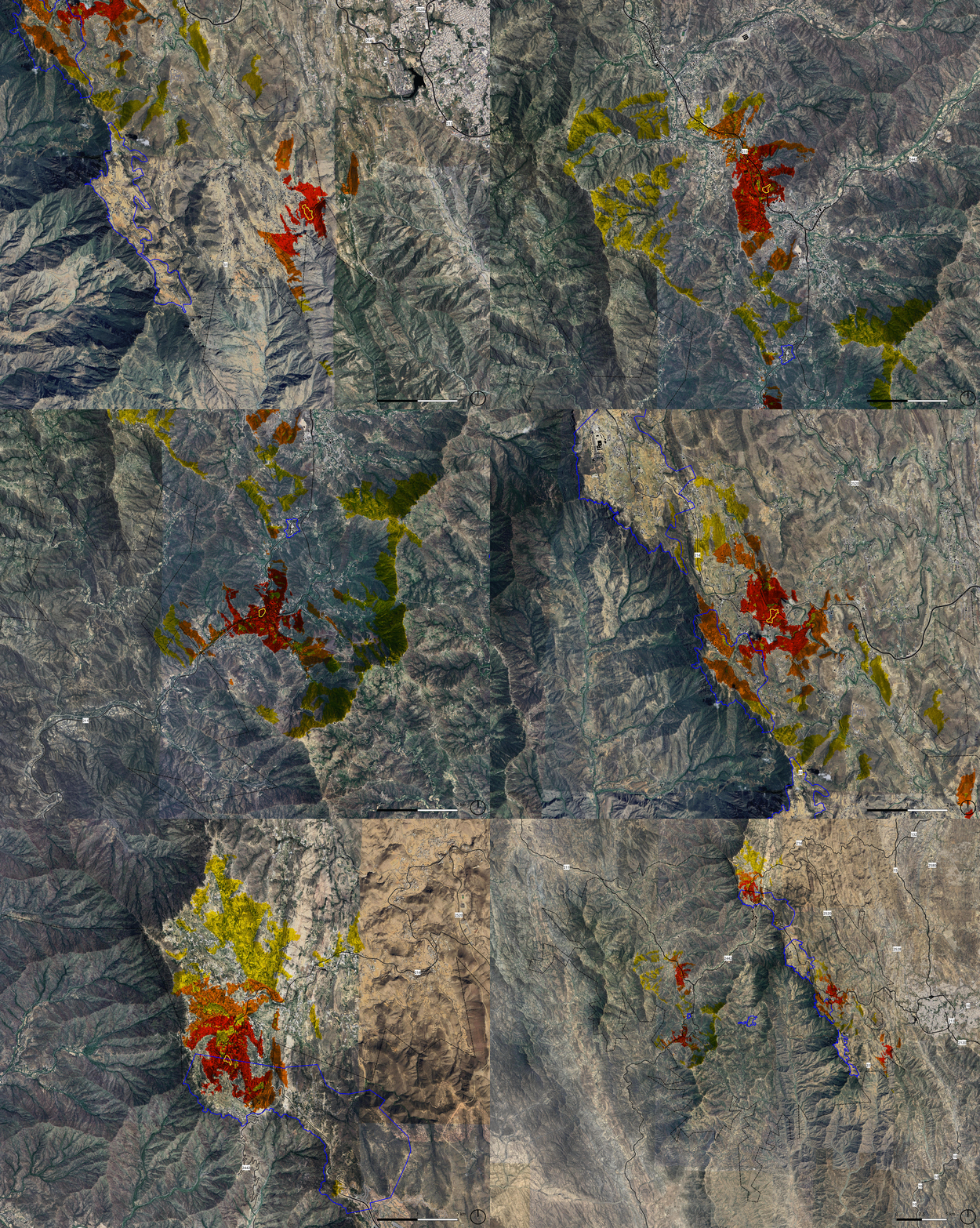
Using advanced GIS analytics, we delivered: Streamlined Data Management: Centralizing and structuring fragmented spatial datasets to improve access and support more efficient planning workflows. Optimized Intervention Strategies: Applying visibility and viewshed analysis to target only the most visually impactful locations for upgrades, maintaining design integrity while minimizing disruption. Cost-Efficient Planning: Prioritizing high-visibility areas for intervention helped reduce unnecessary expenditures, focusing resources where they yield the greatest visual return. Through this data-driven approach, the SUDC ensures that future developments in Soudah Peaks are both visually coherent and economically efficient—setting a new benchmark for integrating GIS into landscape-sensitive planning.
Client:
Soudah Development Company
Location:
Al Aseer, KSA
Expertise:
GIS - Data Management - Urban Analysis
Team:
Ryder Architects, UrbanPlaceNetwork, AMO Engineers
Sector:
Urban Planning - Mixeduse
Area:
~650 sqkm