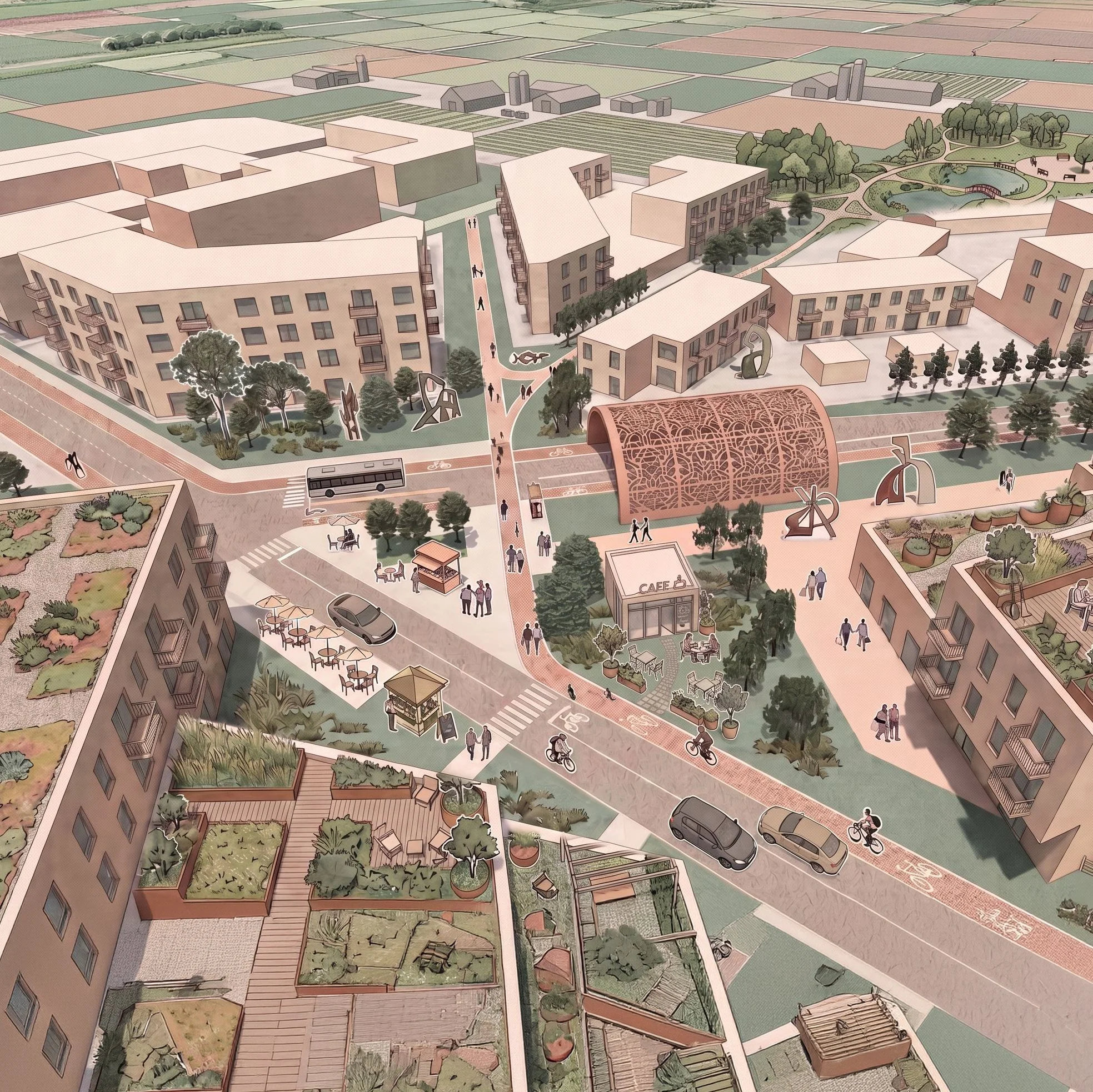
As part of the South Dade Transit-Oriented Development (TOD) Master Plan and in collaboration with UrbanPlaceNetwork, Urban Col.labs played a pivotal role in supporting the transformation of key station areas into vibrant, walkable urban centers aligned with Miami-Dade County’s SMART Corridor vision. We were responsible for comprehensive GIS mapping and spatial analysis, including the collection and integration of data from official sources and review and consolidation of previous consultant outputs. This meticulous groundwork enabled the identification of development constraints, opportunities for infill and redevelopment, and mobility enhancement strategies.
In addition, we conducted Floor Area Ratio (FAR) studies and density analyses to support strategic land use planning and guide the optimal intensification of areas adjacent to new Bus Rapid Transit (BRT) stations. By understanding and mapping plot ownership information, identifying strategic parcels and public realm enhancements opportunities, we provided key insights that shaped the development framework.
For seamless interaction with the wider team we used advanced collaboration platforms enabling interaction with the design team and stakeholders. These tools allowed for real-time visualization of development scenarios, rapid feedback integration, and more dynamic, informed discussions with Miami-Dade County officials, developers, and community representatives. Urban Collabs’ data-driven, collaborative approach was instrumental in creating flexible, actionable station area plans that support sustainable urban growth.
United States of America
Miami South Corridor TOD
Client:
Miami Dade County
Location:
Miami, USA
Expertise:
GIS - Data Management - Urban Analysis
Team:
AECOM, Ascendal group, UrbanPlaceNetwork
Sector:
Urban Planning - Mixeduse
Area:
~407 HA