We create Urban Masterpieces supported by Data!
Urban Col.labs is a collaboration of international experts in the fields of Urban design, Public art and Data Science. We strive to merge the worlds of Urbanism, Art and Technology to create unique and smart solutions for cities and the public space.

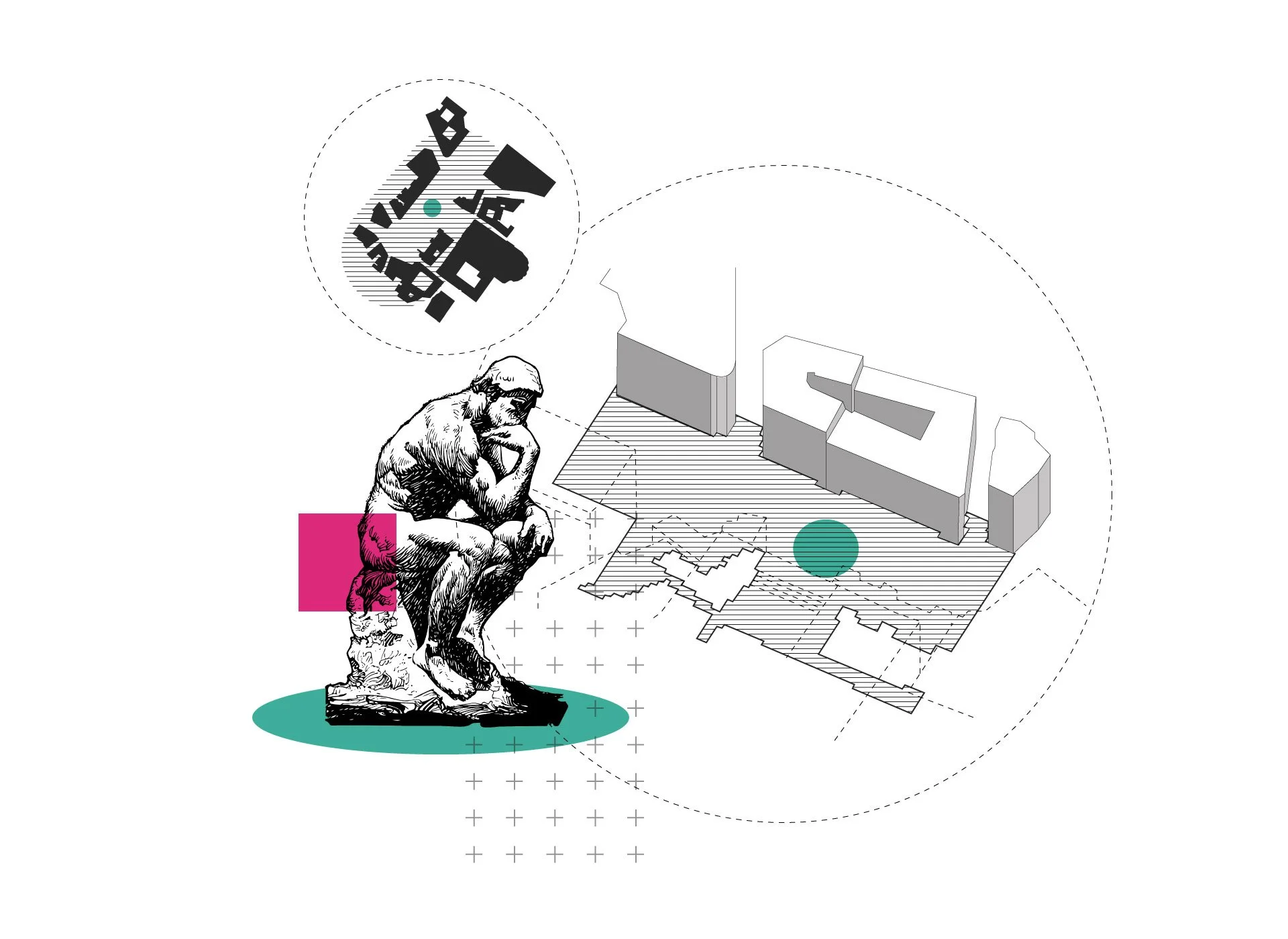
We Help Design Cities
-
-
-
Item description

We Analyse Data
-
This involves the study and interpretation of spatial data to understand patterns, relationships, and trends within a specific area. We employ techniques such as mapping, spatial statistics, and spatial modeling to analyze geographic data and provide insights that can inform decision-making and problem-solving. Geographic data analysis is increasingly being used in industries such as urban planning, development, marketing, and environmental management to improve our understanding of the world around us.
-
We organize, analyze, and interpret data using mathematical and statistical techniques. With the goal of extracting meaningful insights and helping our clients make informed decisions based on the data, by identifying patterns, relationships, and trends.
-
We love to get creative with data collection, understanding and visualizing. Not only for urban planning and development but also to tell stories, create artistic and educational interventions. This can be anything from collecting emotional and cultural data to understand cities from a new perspective, to translating geographic data into physical and artistic installations. We are keen to collaborate with artists, researchers and tech professionals to form a new holistic understanding of places.

We Visualize Information
-
We can convert any type of geographic data into beautiful informative maps. It can be any type of physical features of a place, demographic or economic data, human and animal behavior, environmental or weather conditions, flows of people and vehicles or any other type of spatial data.
-
We create web-based digital maps that allow our clients accessibility whenever and wherever needed. These can be interactive allowing a number of functions and viewing options and imbedding additional information and imagery to the data visualized.
-
We are passionate about telling stories through maps and geographic information and can help our clients deliver complex subjects through simple and interesting visualization.