We Make Maps!

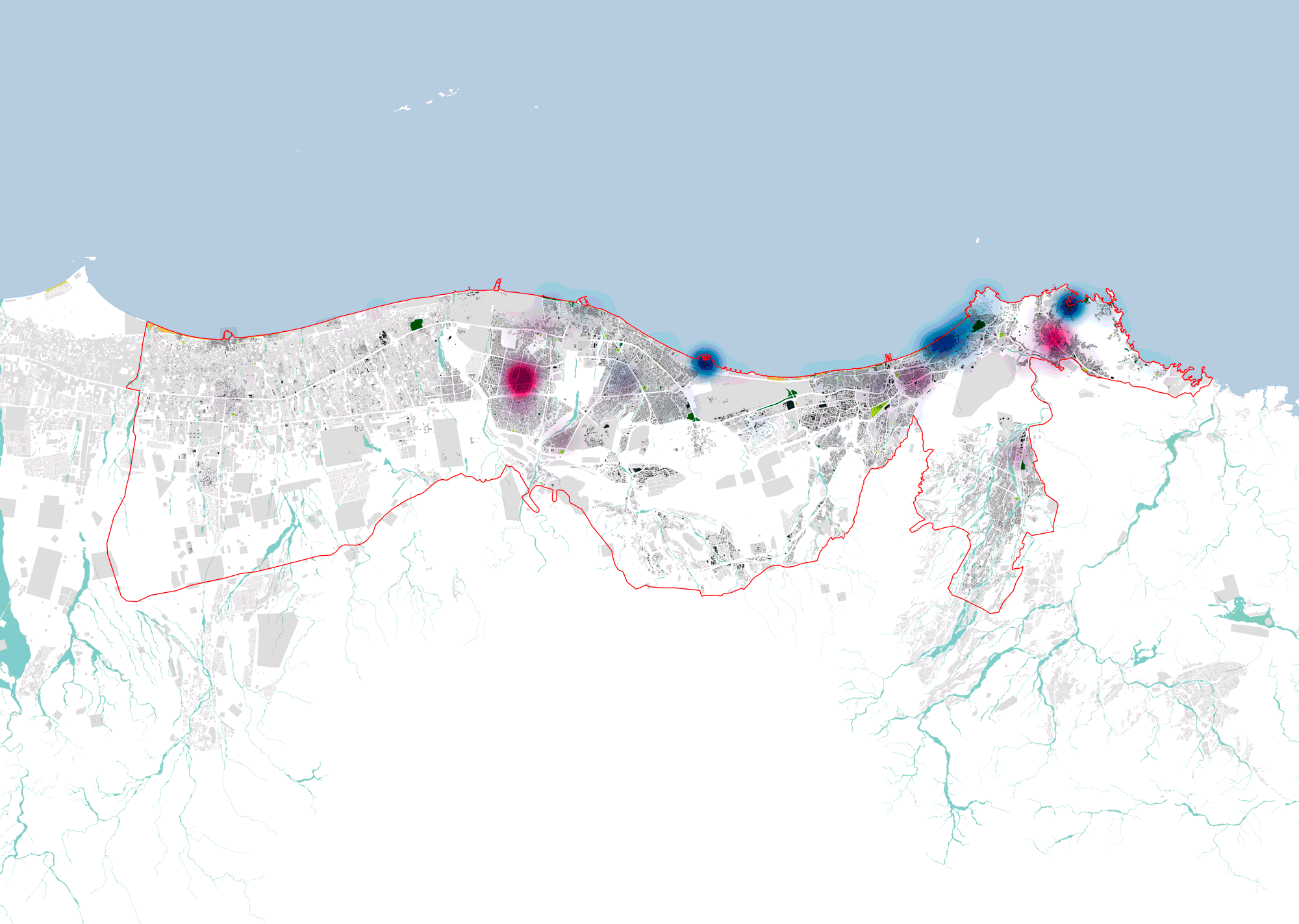
We are experts in turning location based data into legible, informative and graphically attractive maps. Seeing different sets of data visualized on a map can help understand cities better and in return make better design and policy decisions.

3D map of luxemburg showing water bodies and topography with purple peaks indicating elevation or data points.
Flowchart outlining steps for data analysis and map visualization, including datasets collection, map requirement identification, data cleaning, visualization in 2D or 3D, creating final map package, and drawing conclusions.

There is two starting point for Mapping:

Previous Work